A Song of Ice and Fire Roleplaying Tool (2024)

I developed an unofficial tool for the Song of Ice and Fire Roleplaying game with a small team of friends from a data science and economics background. This tool assists the game masters ("referees" running the game) with keeping a high-level overview of the game world, simulating things such as weather, food, and troop movement that would otherwise take a lot of manual work. The project was split into multiple modules that communicate through the file system. I worked on the modules for weather simulation and food production and consumption, a tool to convert maps to a format usable with the tool, as well as the central module that controls when the other modules should activate. Troop movement and the written specifications of each module were handled by the rest of the team.
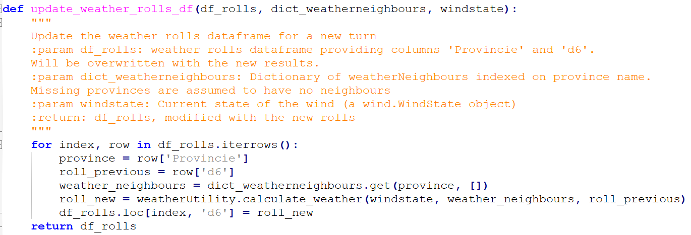
In case of both the weather and food modules, data management was the primary challenge. Data had to be stored in a format usable for all modules (for example, food production depends on the weather) as well as readable for the game masters (for example, the game master wants to tell a player how many weeks of food are in their castle), which is why the choice was made to use CSV files for all modules. Both modules used a central interface with functions for reading, updating, and writing the files available to the other modules, as well as a number of utility methods to handle their own internal logic to update the state of the world.

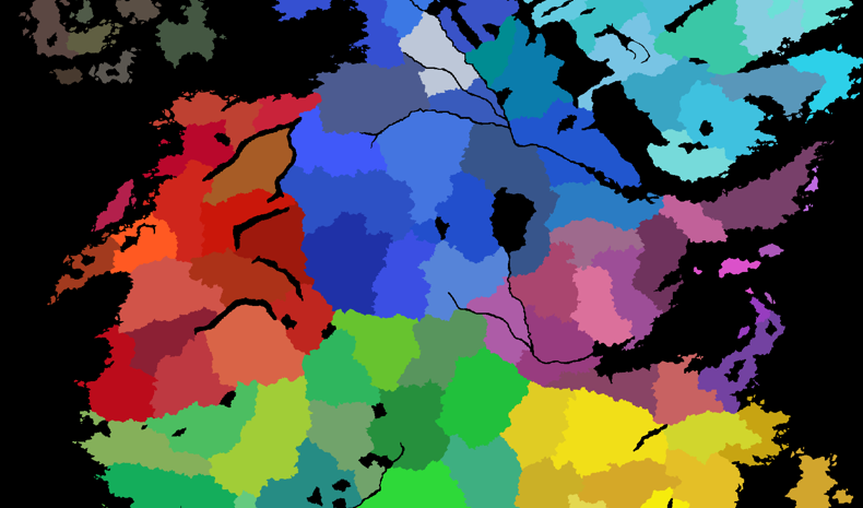
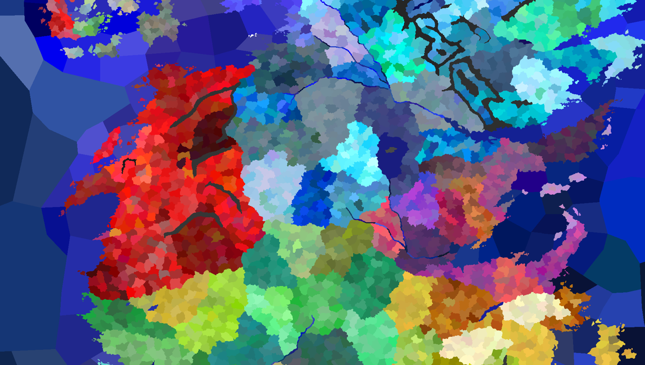
To avoid the manual labor of drawing our own map or interpreting a map designed for humans rather than computers, I designed the map conversion tool to create and visualise a map from files present in the Crusader Kings 3 conversion mod "A Game of Thrones", set in the same world as the roleplaying game. This map contained nearly 7000 regions, far too much for our game, but also contained files describing a hierarchy of regions. My tool reads these files, traverses the hierarchy, and builds a new map at a scale with larger regions. My weather module additionally needed information about the borders between regions, so I added a step to the conversion program to detect all borders and their direction using a number of image processing techniques. These borders are written to an additional CSV file, allowing game masters to make the final call on borders: for example, a border might want to be removed due to a large mountain range separating the two regions physically.

The central module handles the communication between the game master and the other modules. This module makes calls to all other modules to update the state of the world based on input by the game masters.
The tool was used live during a week-long game and the game masters considered the tool a great success, reducing their workload even further than the Excel sheets used in previous games and considering to automate even more parts of the game in the future.
Feel free to contact me if you want to chat! Send me an email at [email protected].